
The bus travels through from Raheen - Ballycummin / Mid-west Regional Hosptial to the city centre, then O'Connell St, Henry St, Sarsfield St, William St, Upper William S, Mulgrave St, Ballysimon Rd, Tipperary Roundabout, Childers Rd, Parkway Roundabout, Dublin Rd, Groody Roundabout, Plassey Park Rd, Milford Rd, Dublin Rd.
Service Details
Operated by
Bus ÉireannEstates / areas / places served
Plassey Park, Castletroy Park, Milford, College Court, UL main campus, Avila, Louvain, Heidelberg, Compostella, Lois na Sidhe, Avignon, Elm Park Avenue, Oaklawns, Dun an Orr, Kilmurray Cemetery/Church, Castletroy, The Whitehorns, Castle Rd, Golflinks Rd, Castletroy Heights, Curragh Birin, Reboge Meadows, Parkway, Rhebogue Rd, Norwood Park, Windsor Court, Bloodmill Rd, Q Retail Park, Granville Park, Childer's Rd Retail Park, Woodlawn Park, Rose Avenue, St Judes's Avenue, Fatima Avenue, St Patrick's Rd, Killmallock Rd, Fairgreen, Mt St Lawrence Cemetery, Fairview, St Lawrence's Park, Greenhill Rd, St John's Avenue, Geraldine Villas, Roxborough Avenue, Limerick College of Further Education, Rossa Avenue, Cathedral Place.Bus route map
Click on the map to zoom.
Click the rectangle in the top left corner to see this map in Google Maps.
Related information
City Bus details for timetable links and other routes.
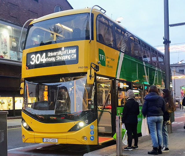 |
| Bus 304 Limerick outside the former Debenhams - travels via Parkway Shopping Centre |